Skip to content
Menu
Menu
Home
Browse Courses
Browse Our Course Library
Course Acceptance
How to Take a Course
How to Choose the Right Course
How SurveyorCE Works
Site Resources
View All Topics
FAQs (Frequently Asked Questions)
State PDH Requirements
About our Unlimited Membership
Refund Policy
Contact Us
SIGN IN
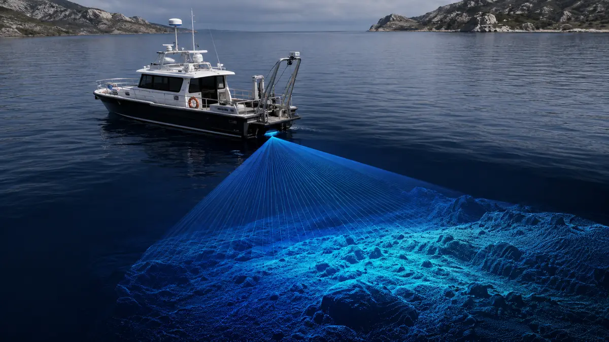
Acoustic Multibeam Hydrographic Survey Systems
Categories:
Hydrographic and Coastal Surveying
Wishlist
What Will You Learn?
Explain the operating principles of acoustic multibeam hydrographic survey systems
Describe how acoustic travel time, beam angles, and sound velocity are used to determine depths
Identify appropriate multibeam applications for navigation, dredging, and underwater structure surveys
Evaluate common multibeam transducer mounting arrangements
Explain how vessel motion, draft, settlement, and positioning latency affect survey measurements
Describe sensor alignment procedures and the four components of a Patch Test
Apply appropriate survey coverage, overlap, beam-angle, and data-processing criteria
Describe quality-control and performance-testing procedures for multibeam surveys
Course Content
Course Study Guide
Download and review the complete course study guide before attempting the final examination.
Acoustic Multibeam Hydrographic Survey Systems Study Guide
Final Examination
Complete the final examination after reviewing the course study guide. A minimum score of 70 percent is required to pass.
General Questions