
Topographic Surveying Techniques and Methods
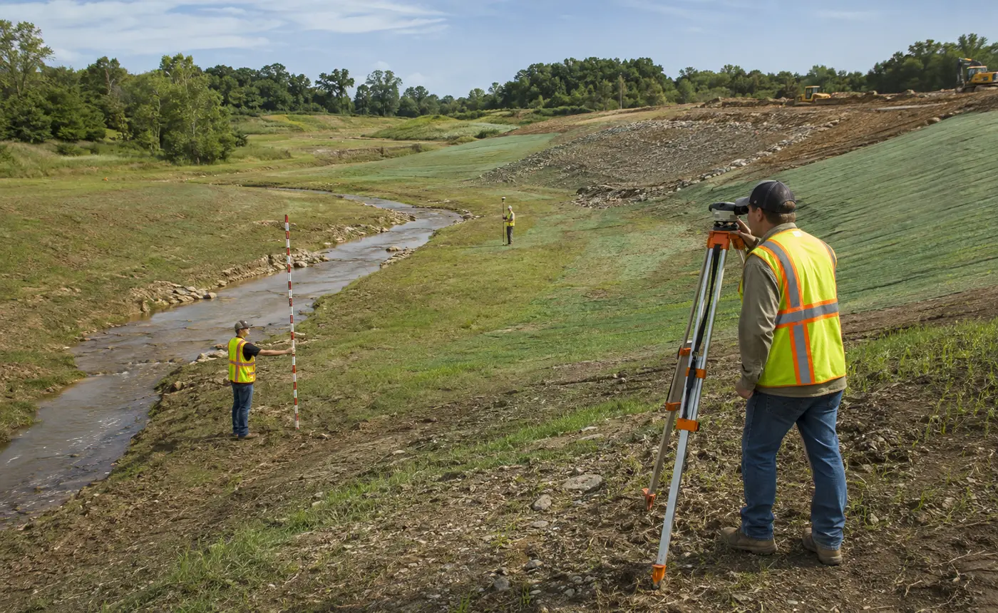
Categories: Control Surveying
About Course
This course provides general guidance on planning control and topographic surveys. Requirements and methods for extending nationwide control networks into a facility project site are described. Sources of geodetic control data are described. Guidance is also provided on selecting map scales, feature location tolerances, and contour intervals for typical engineering and construction projects.
What Will You Learn?
- Topics:
- Project Requirements from Using Agency
- Topographic Survey Planning Checklist
- Rights-of-Entry
- Sources of Existing Geospatial/Survey Data
- Project Control for Topographic Detail Surveys
- Establishing NSRS Control at a Project Site
- Project Control Densification Methods
- Extending Control from a Local Project or Installation Network
- Extending Control from a Distant Network Using (CORS)
- On-Line Positioning User Service (OPUS)
- Establishing Approximate Control for an Isolated or OCONUS Construction Project
- Determining Required Map Scale and Contour Interval
- Topographic Survey Equipment Selection and Planning Guidance